A.T.L.A.S.
Automated Tracking & Land Administration System
A.T.L.A.S.
Oct 2025 - Aug 2026
atlas
/'atləs/
A book of maps or charts.
In collaboration with
Singapore Land Authority
Technologies
Contributors
Awards
Project Description
Automating geospatial change detectionIn order to validate addresses, SLA Administrators previously had to go through each building in a dataset containing thousands of these instances, and verify their address strings manually.
ATLAS significantly enhances the Singapore Land Authority (SLA)'s internal system, ensuring accuracy, transparency, and full traceability while autonomously processing such datasets. These enhancements replace outdated manual processes, accelerate reliable decision-making, strengthen data integrity, and equip SLA teams to manage increasing land administration demands more efficiently.
I was in charge of the overall system architecture and CICD of the project, ensuring that our GitHub workflows were in check. One key feature I worked on was the batch processing of the building files, to ensure maximum efficiency in the system.
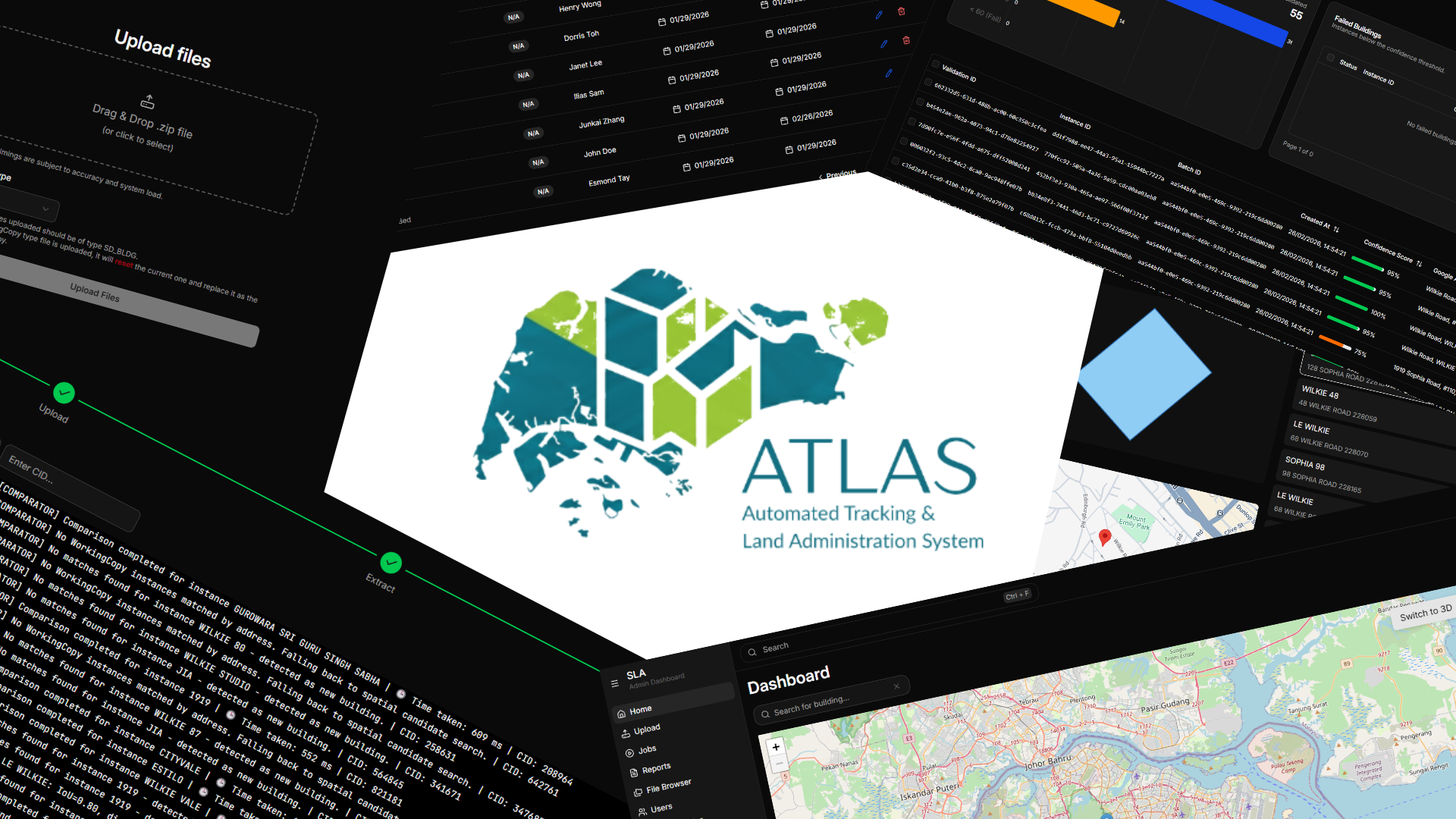
Features
Batch Processing
Here, I implemented a batch processing system running on Redis + BullMQ, built on an event driven architecture to process multiple files simultaneously. This allows SLA to upload multiple zip files, significantly improving the UX on their end.
Address Validation
Confidence Scoring
Postal Code: 40%
Road Name Similarity: 20%
Building Name Similarity: 20%
Block/House Number Similarity: 5%
Geographic Distance: 15%
In order to validate addresses against current conventions, we used multiple APIs as sources with a custom confidence scoring system to ensure that address data was accurate and up-to-date.
Deployment
ATLAS had to be deployed on-premises, hence I decided to use Docker to containerise the entire application and it's dependent services for a quick and easy deployment, within SLA's own intranet.
Comparison Engine
The bread and butter of ATLAS, our custom-made comparison engine helps to detect changes between map layers based on data provided, completely automating the manual process of checking each building individually.
Impact
ATLAS empowers Singapore's long-term urban development by serving as a central, reliable foundation for location and building data.
By keeping national mapping information accurate and up to date, it enables government agencies to plan smarter infrastructure, optimize public services, and manage state land efficiently.
Beyond public administration, businesses and daily consumer platforms rely on this seamless map data for precise navigation, smoother logistics, and improved essential services.
Ultimately, ATLAS ensures that as Singapore's landscape evolves, city planning stays coordinated, efficient, and responsive to the community's needs.